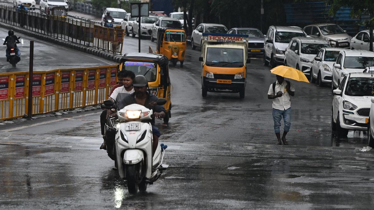
Chennai and several districts across Tamil Nadu are set to experience unsettled weather over the next 48 hours, as a combination of meteorological factors brings heavy rain, thunderstorms, and strong winds starting Sunday. A low-level circulation over the central Bay of Bengal, interacting with a north–south trough along coastal Andhra Pradesh, has triggered widespread clouding and a significant drop in temperatures across northern Tamil Nadu districts over the past 24 hours.
The Regional Weather Forecasting Centre (RWFC) in Chennai noted that the system altered wind patterns from dry northwesterlies to moist northeasterly onshore winds blowing in from the Bay of Bengal. “An important feature observed today was the early strengthening of the sea-breeze circulation, with strong onshore winds of around 25–30 km/hr developing from 8 a.m. onwards,” said V.R. Durai, Director of the RWFC. These moisture-laden winds penetrated inland, supporting the formation of widespread low and mid-level clouds over Chennai and surrounding regions.
Temperature readings across the city reflected the cooling trend. At Nungambakkam, the mercury settled at 32.3°C—6 degrees below the normal of 38.2°C—while Meenambakkam recorded 32.4°C against the normal 39.1°C. The cloud cover, which persisted throughout Saturday, brought relief from the usual summer heat and altered daily routines across the city.
Along the coast, unusual weather phenomena were reported. Residents in Nochikuppam said Marina Beach experienced a small sandstorm early in the morning. “The wind just whipped up the sands. The police told morning walkers to get out of the beach,” said K. Bharathi, a local resident. Two fishing boats returning after a night at sea were overturned by the gusty conditions, though no injuries were reported.
As the system continues to evolve, Sunday is expected to remain predominantly cloudy across Chennai and nearby areas. However, the focus shifts to potential heavy rainfall, thunderstorms, and lightning over several interior districts. According to the forecast, heavy rain is likely at isolated places, accompanied by gusty winds reaching 40–50 kmph, in Nilgiris, Coimbatore, Erode, Tiruppur, Salem, Dharmapuri, Krishnagiri, Tirupattur, Vellore, Ranipet, Tiruvannamalai, Kallakurichi, Perambalur, Tiruchi, Namakkal, Karur, Dindigul, Theni, and Madurai districts.
Light to moderate rain is also anticipated at isolated locations over Tamil Nadu, Puducherry, and Karaikal. While the rain is expected to be scattered and not widespread, the combination of moisture influx, low-level convergence, and strong onshore winds creates conducive conditions for intense short-duration spells, especially during the afternoon and evening.
Authorities have advised residents to stay alert, avoid coastal areas during high winds, and secure loose objects. Fishermen have been cautioned against venturing into the sea as conditions remain volatile. The weather pattern is being closely monitored by the India Meteorological Department (IMD) and local disaster management agencies, with contingency plans on standby in vulnerable districts.
As Tamil Nadu transitions from a warm, dry spell into a more active monsoon-like phase, meteorologists say the current system is a precursor to the approaching southwest monsoon, which is expected to set in over Kerala around June 1, with gradual advancement across peninsular India.